Showing posts with label Renee Skiba. Show all posts

Sunday, September 4, 2011

Treasure caching


Peter and I drove about 50 miles east of Fort Collins past the town of Ault to Highway 390 for the start of our geocaching adventure.  Our plan for the day was to meander along the Pawnee National Grasslands power trail and head north toward the town of Grover, CO picking up many caches.   Caches are hidden about a half mile apart.


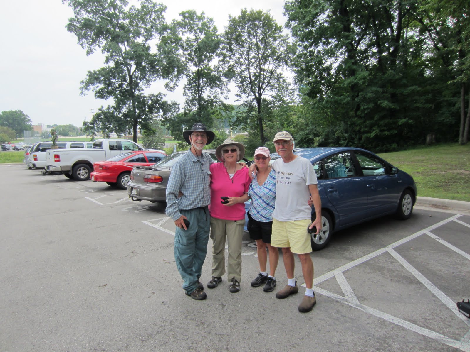
 Our normal process is  to consult the GPS, count down the feet to ground zero, stop the car with both of us getting out to look for the hidden treasure. But  the constant repetition due to the relative closeness made this too time consuming.  So I took over the driving chores and  Peter hopped out each time I stopped.  He located the cache, signed the log and hopped back into the car. This worked out better.  We stayed on the dusty dirt  roads traveled only by  us and the occasional oil rig truck , cattle trailer or pick up truck.  The road followed the edge of the Pawnee National Grassland.  We saw windmills with water troughs, oil wells surrounded by cattle, prancing pronghorn antelope, grazing sheep, and cottonwood trees along an occasional stream crossing.  We are thinking that this would be a good place to come back to for pictures in the spring time.


 We discovered and signed over 120 caches for the day.  Our little blue Prius was coated with dust.  Our floor mats were plush with gravel and stones.  Exhausted and tired of the confines of our little car we head north to Wyoming (almost to the border by this time) and stop for a bite to eat at the local truck stop in Cheyenne.  All told, we set a personal record for number of caches in a day.

Upon reflection, the farmers, ranchers and settlers of this austere grassland must have been hardy, dedicated, self reliant folks.  They must have felt comfortable with themselves and have been highly motivated to endure the demands of this national  historic treasure.

Saturday, August 13, 2011

Geocaching in West Bend

What do you do while you're waiting two days for your 50th Grade school reunion to happen?  When you're Peter and Renee Skiba you geocache!

We traveled to Milwaukee the second week in August to attend Peter's Grade School Reunion.  Having graduated in 1961 from St. John Kanty meant that you lived in very close proximity to about 60 other children during many of your formative years.  We learned together, we played together, we went to church together year after year.  We formed relationships that have lasted decades.  But the event was not going to happen until Saturday evening.


Since we had time on our hands we decided to participate in the 4th Annual West Bend Geocache Bash starting in Regner Park.  Geocaching is a world wide phenomenon wherein cachers seeks out hidden treasures using a Global Positioning System (GPS) device to guide them to the location of the cache.  We registered at noon on Friday with our caching handle, Pixelmagic, and learned that we were to be among a total of about 1600 teams participating in the event.  66 new caches were published specifically for this event in and around the greater West Bend area. 

Friday afternoon we headed to the northernmost caches and followed roads, trails and paths to get to the caches.  A sports themed series through the woods led us along buggy, shaded, hot trails to find a baseball cache at the end of a long branch propped against a tree and a basketball cache high in a tree trunk complete with hoop and net.  The themes and placement were well thought out and funny.  We met Dan and Vicki at registration and caught up with them in the woods.  It took some serious walking and hiking to complete 30 caches in the afternoon.

Saturday we were back in the rainy West Bend area attempting to get our share of the caches along with several hundreds more walking along the paved and not so paved trails.  We had a blast in West Bend.  Thanks for the cache.


Saturday, June 4, 2011

Prospect Ponds Hike

Today we headed to Prospect Ponds for a hike/geocaching adventure. The area is about 10 minutes South of our home. It is a natural area that is popular to hikers/walkers/bikers/dogs.
We took advantage of the cooler weather in the morning to head out. By the time we were done, it was getting very warm and we were glad to head home to cool off.

The first part of our day took us on an easy hike around the ponds. We found the cache easily, signed the log and headed back to get our next cache. The next one was about 1.5 miles from the first so we chose to drive part of the way. We parked at the CSU Environmental Learning Center.

Leaving the parking lot, we walked across a swinging bridge. Of course Peter had to be the funny man and shake the bridge as I was going over. Hmmmmm! Children! Do they ever grow up?! Let's hope not.

We followed the trail to get to the next multi cache at the south end of the Center. Along the way we came across fields of phlox being munched on by deer. Deer that were so used to humans, that they stood still (for a bit) to have their pictures taken. We continued on. Arrived at the coordinates and began our search. We had to get through some high grasses and swat a couple of dozen mosquitoes, but Peter's eagle eyes spotted the clue! It gave us coordinates to the 2nd part of the cache. We again went off trail for a bit and headed toward the La Poudre River. The water was high and flowing rapidly. Spring thaws have brought a lot of water down from the mountains. We found the cache, signed the log and returned to the parking area. There was one more in the area, but we chose to leave that one for another time. We went home to clean up and get some bug lotion for our bites. Another great day enjoying the great outdoors. What a joy it is to live in an area where all of this beauty is nearby and just waiting to be found!

Friday, June 3, 2011

Youngs Gulch Trail

We left home this morning intent on finding at least 3 geocaches in the Poudre Canyon on the Youngs Gulch Trail. The first one was to be a multi cache with 3 parts and the 2nd and 3rd were traditional ones.

We drove to the trail head, parked, got out our walking sticks, packed up our backpacks and headed out on the trail by 9:30AM. We knew from descriptions written that we had to walk about 2 miles in and would have to cross a stream several times over. Seems to be a popular area as there were several cars in the parking lot already. Peter had hiked the complete route (8 miles round trip) a couple of days earlier to be the First to Find a new cache that was hidden on the trail.

As we came to the stream crossings, it was comforting to know that "someone" had thought ahead and placed large boulders in the water to use as stepping stones. Some were covered in water but for the most part they made the crossings easier. As I stood on one side of the stream I had to talk myself into crossing to the other side. Fear of falling is a big part of my hesitancy, but I made it.

Along the way we were blessed to find many new wildflowers blooming. Some we had not seen, but many that were known to us by name....Pasque Flower, Golden Banner, Larkspur, Shooting Stars, Colorado Columbine (first one to see this season) and the Star Flower. We're sure there were others, but too many to name. We came across many other hikers along the way with dogs of many varieties.

We only went off trail to find the clues for the caches and to grab a bite to eat. Then we pressed on to the next stop.

We were doing fine. I was counting the stream crossings and had made it to 12 without any problems. Then # 13 came along. Must have been getting tired, or it was just an unlucky number....anyhow I slipped. Landed on my left fingers and knees. Then somehow landed on my chest. Peter came to the rescue. Finger started to swell and was painful, but we had places to go....so we continued on our way! Before reaching the cache at the end of the trail, we counted a total of 18 crossings. Some more difficult than others. Later in the hike we came across another hiker who had a large "bite" taken out of his straw hat. Asked him what happened, and he said a pterodactyl swooped down and bit it off. Said he had to fight it off! We then wondered if that same pterodactyl was responsible for knocking me off the boulder in the 13th stream crossing. Amazing! So nice to have a worthy explanation of what happened and not think that it was just me being clumsy!

We did accomplish our task that we set out to do. Found all of the caches, had a wonderful hike in the wild, did not break anything and enjoyed each others company. What more could you want on a spring day in Colorado?

Saturday, May 28, 2011

Visitors from Wisconsin


This week our dear friends Paul and Maris Fried stayed with us in Fort Collins, Colorado. They drove one thousand miles to visit and spend time together. We had the opportunity to show them around the Front Range and do some hiking in the Poudre Canyon. They joined us seeking out geocaches in town and in the surrounding regions.


Paul and Peter took the hike to the top of Horsetooth Rock and Renée and Maris hiked the trail to Horsetooth Falls.

Paul was able to complete a Earthcache with information he gained from signage at the top of the Rock.

The Rock overlooks the City of Fort Collins to the north.


Sunday, March 13, 2011

Rocky Mountain Raptor Program


Peter and Renée visited the Environmental Learning Center while geocaching in Fort Collins on Wednesday. They noticed that the were fenced in enclosures on the premises that had wild birds of prey within. Pretty cool wild birds!

Two geocaches remained to be found when we quit for the day. We returned on Thursday and found the caches on the trails nearby. When we returned to the parking area we noticed some volunteers near the enclosures with something flapping huge wings. As we approached we saw that the flapping wings belonged to a golden eagle that we learned was ill and unable to fend for itself in the wild. It is being kept and trained as an educational ambassador for the Program. We were treated to a special opportunity to learn about this eagle and about the Program which has a rich and successful history. Originally linked to the University (CSU) it was spun off and now has a home of its own right here in Fort Collins. Volunteers travel the State with the birds and provide educational opportunities for lots of folks. They treat and release raptors like eagles, owls, hawks and falcons. Since 1979 the have cared for over 5,000 injured raptors.

Thursday, March 3, 2011

To the top of Scheurman Mountain

On Wednesday morning we headed south of town to take the Red Rock Loop Road.
One of the first stops was to hike to the top of Scheurman Mountain.
This was a suggestion of our new geocaching friends, Mike and Julie.
The hike would take us to a couple of their caches.
Renee opted to stay at "base camp" and direct Peter if he needed help
in locating the cache (s). Peter took off with hiking sticks, water, backpack and a
lot of energy to hike up the trail.

He located the first cache with no difficulty and then called back to Renee
for directions to the next 2. Along the way he met up with a couple of other hikers
who were from Pennsylvania. He introduced them to geocaching.
Pictures were taken and then Peter was on his way to the next cache.
He located 3 of the 4. Great vistas and great pictures. Certainly a site to return to
for wonderful sunsets or sunrises.

After his 2.5 hour trek, Peter & Renee continued on the Red Rock Loop Road stopping at intervals to grab a couple of more caches and enjoy the vistas. We stopped at places that we
may not have normally been attracted to for a stop.

Great day. Headed home for some rest, a hot shower, dinner and some news on TV.

Peter logging into a cache at the top of Scheurman Mountain.

Overview of Sedona from one of the overlooks along Red Rock Loop Road.

Renee at one of the stops

Sunday, February 27, 2011

Snow in Sedona

Woke up this morning in Sedona to a beautiful site outside of our window.
Heavy snow! Hanging from the trees, covering the red rocks in the mountains.
We are heading out to enjoy some of this beauty before it is only a memory.

Sunday, February 6, 2011

Red Rock Canyon State Park

On Tuesday, Feb 1st we chose to have an outdoor adventure.
We traveled about 30 miles of Vegas to Red Rock Canyon State Park. Doug & Heidi had told us before leaving on our trip that this was one of the places we should not miss.

It was a cool day (30's) and the winds were quite strong! Peter even was blown over at one of his picture taking walks. Strong winds mixed with sand and grit made for a bit of facial pain when you forgot to cover up. I even lost my hat, but Peter being the gallant man he is went over the edge to retrieve it! Hooray!

On Tuesday, we just drove through the park loop, stopped for a couple of caches, some pictures and a brief hike. We returned on Wednesday so that Peter would be able to walk through the Ice Box Canyon Trailway. He took almost the entire trail hoping to see some frozen waterfalls. I stayed behind and went for a much shorter walk in the opposite direction.


Visitor's Center where Peter made a new friend who insisted on following him around!

Part of our geocaching search.

Hiking up the rocks. Bundled up to protect from the wind.

Red Rock Canyon--- Calico Basin

Tuesday, January 18, 2011

64th birthday celebration


This January 14th marked the 64th birthday of Peter. This is momentous because it is Peter's first birthday celebrated in Colorado and the first time it was celebrated with all members of his immediate family. Andy and Tara and the girls traveled from Lander and stayed the weekend and Doug and Heidi joined us on Saturday. A wonderful Packers victory was another gift.

The dining room table was twice surrounded with smiling faces admiring birthday cake complete with lit candles, once on Friday and again on Saturday.


Time was spent with granddaughters, Hailey and Emily, playing at the playground and on the living room floor.


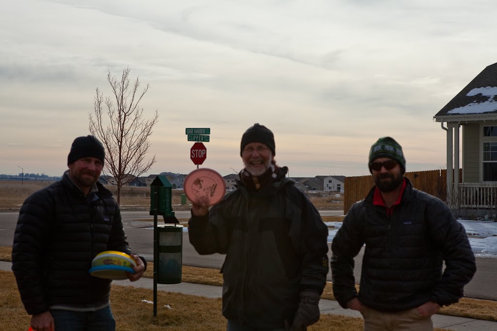
Time was also spent with sons, Doug and Andy, being introduced to frisbee golf.


Renée planned the event and was instrumental in pulling off it off.

The girls helped Peter open gifts of a rust colored shirt, slippers to replace my holey ones and a new chalk bag for climbing. Andy and Tara hid their gift before returning to Lander.

Sunday, October 31, 2010

Red Mountain Open Space


On Friday we decided that our adventure for the week would take us North of Fort Collins.
We had been told earlier in the week that the Red Mountain Open Space would be a good place to explore.
So with the weather predicted to be in the upper 60's we got out our map and headed north about 25 miles. On the way we stopped to catch a few geocaches en route.

Arriving at the Open Space we noted that one of the parking lots was closed due to rattlesnake hibernation. So we parked lower but had to walk through that parking lot to get to the trails. On the trail, I kept my eyes wide open in hopes that a rattler would not show itself on my path. With the warm weather I thought that they would be coming out of their hidey-holes! But none that we saw.

On our walk we had to cross a couple of creeks. I am always leery, but managed fine with Peter's encouragement. Of course Peter had to ham it up for the camera while he was crossing. No worry he has not fallen yet no matter how much he packs along with him!

And me going the opposite direction.

Peter getting down into the rattlesnake/cacti area.


Some of the wonderful birds nests that we found along the way. Built right into the side of the mountain.

Tuesday, October 19, 2010

Rocky Mountain National Park

Peter & I got off to a very early start this morning. Alarm went off at 4AM. Our plan was to get to RMNP for a sunrise. We arrived at about 6:30AM. Drive into the park was uneventful....no large animals in the roadways! Arrived in the park before the staff was there to check us in. Our plan was to look for elk today, photograph a sunrise and do some geocaching.

Initially went to Bear Lake for the sunrise. On the way up to that point we first came across some wonderful glistening frost on the low lying plants. As we progressed farther up, the frost turned to snow. Lovely to look at with the aspen trees still glowing their beautiful golden hues. There were about 4 other cars in the parking lot when we arrived. One was covered with snow so we presumed that the occupant (s) had spent the nite up higher on an overnite hike.

Peter proceeded to walk to Bear Lake along with another photographer who arrived at the same time. Said the water was not calm, so not terrific for reflections, but still beautiful with the recent snowfall.

Sunrise at Bear Lake in Rocky Mountain National Park


Sunrise showing alpenglow at Bear Lake a few minutes after the initial shots.


Large bull elk taking a rest. Alone. Before or after his harem duties???!!!

As our car was almost empty of fuel, we then headed back to Estes Park to refuel the car and ourselves. We stopped for breakfast at a small restaurant called "The Other Side". Hearty breakfast of shared Denver Omelet, Blueberry Pancakes and coffee.

Following breakfast we decided to do some geocaching in the area. I had looked up about 10 places the night before. We were ready. We found all but one. Perhaps it had floated down the river or been taken by someone? Will never know. But the places we did get to were interesting.

Left this morning when the temperature was a mere 28 degrees and returned to Fort Collins where it was 70 degrees! What a pleasant way to spend a fall day!

Thursday, October 14, 2010

Grouse Lake Trail

Peter left this morning about 8am and was headed to the Grouse Lake Trail just north of Minturn. I was not feeling well and chose to stay home. His plans are to hike the entire trail (about 4.5 miles) and return to his starting point. He is figuring it should take him at the most 8 hours. Elevation gain on the hike is about 3,000'.

While he was gone, I chose to relax, go for a walk in the village and read my book and do some painting.

It is an absolutely heavenly fall day. The snow that had been at the tops of the mountains has melted. People are driving around in convertibles with the tops down! Is it really October? We are so used to much cooler weather in Wisconsin. This will take some getting used to? No!

Lost Lake Trail

On Wed, Peter and I headed north on Red Sandstone Road. We drove up the FS Road 700 to the start of the trailhead. The road had recently been graded and was much less bumpy than when we took it last week. Big improvement.

The full trail was 3.73 miles between trailheads. The plan was for Peter to go the whole distance to the lake and then turn around and head back to the car. My plan was to walk about a mile and then head back to the car.

The trail followed a ridge dividing the Piney and Red Sandstone drainages while traveling through lodgepole pine and aspen groves. I'm sure the color was more vibrant a couple of weeks ago, but it was still a great place for a hike. To begin with we were the only 2 on the trail. It was so peacefully quiet. Gave us a chance to really experience nature. Along the way I noted a couple of Pileated Woodpeckers pecking away on the trees. Just me and the woodpeckers. No camera along.

The trail gradually climbed about 600 feet to the high point and then dropped down to Lost Lake. Peter said that he was able to see Vail ski slope from the top of the ridge. He stopped for about an hour to munch on his lunch and take some pictures. And then headed back to the car. As he was coming down the trail, he called me and I started out up the trail to meet him.

It was a beautiful day. Weather was perfect. Definitely a place we could return to when we get back to the Vail area.

Friday, October 8, 2010

Mount Massive Snowstorm

Thursday's drive took us South from Vail on the way to Leadville.
We stopped several times for some geocaching at Turquoise Lake and San Isabel National Forest.

During the day we stopped near Mount Massive to take pictures of the snow storm approaching.

Thursday, October 7, 2010

Geocaching near Vail, Colorado

On Wednesday, we decided to do some geocaching in the area.
For those who have not done this, it entails using a GPS to find hidden objects in sometimes unusual and out of the way places. It gets us to go in areas that we may not have explored previously.

We started our day at Vail. The plan was to go West and then South, perhaps as far as Leadville. We never made it to Leadville, but will go there today (hopefully).

Our first find of the day was at Dowd's Rapid right off Hwy 24 and Hwy 6. Well hidden.

Our second one took us to Grouse Creek/Grouse Creek Trailhead a short distance further. This one was a bit more difficult to locate. Peter's persistence paid off when he discovered it in the middle of a beaver's dam! Eureka!

From there we headed south to Minturn and stopped for a BBQ lunch at Kirby Cosmo's BBQ. Enjoyable lunch to complement the pleasant weather.

We continued south to the old mining town of Gilman. Closed to the public but viewable from Hwy 24 overlook. Here too we found a cache hidden in the railing.

From there we headed to our most difficult find yet at Homestake Creek Camping area. I eventually gave up but Peter again persisted by hiking farther back and scrambling over rocks. The area was a great environment for moose (as the sign at the start indicated), but alas they kept themselves hidden from our view.

Our last 2 finds of the day were near Camp Hale where the soldiers of the 10th Mountain Division trained during WWII. We found the first easily enough, but the last one escaped our eyes and we will return today. Interesting place.

View of moose habitat in Homestake Creek Camping Area.

Tuesday, October 5, 2010

Eagle's Nest Wilderness

On Monday, Peter and I decided to explore the area near Vail.
We first went to the Holy Cross Ranger District in Minturn, Colorado to pick up information on various hikes in the area. We chose hikes that were listed as "easy to very difficult" picking the Lost Lake Trail #1893 as our first choice. We drove back to Vail and headed North on Red Sandstone Road #700.

As we expected, most of the color on the Aspens was already past, but what remained was bright and beautiful and worth stopping along the way for pictures. The road that we took was a FS road and not in the best condition. Very bumpy ride for about 5 miles. We arrived at the trail head and decided that it might be best to go on to the next stop which was the Upper Piney River Trail #1885. This would give me a shorter walk than what Peter was able to take.

We passed several camping areas and commented that it would be a quiet and peaceful place to camp some day when we return. We crossed over the Piney River along the way until we reached the Piney River Ranch where we began our hike.

We separated after about an hour and Peter went on further to the cascading waterfall. The trail after the falls leads to Mount Powell which is another destination for Peter on another day. The trail winds its way through aspen groves and spruce and fir stands. The whole area is in the Eagles Nest Wilderness.

Peter and Renee on the trail

Peter on the right returning from his hike with storm clouds building overhead.

Sunday, October 3, 2010

Fall Color in Vail


View of our condo from the mountain top.

Woke up this AM in Vail after arriving late last nite. Too dark to really see what our surroundings were like.

Walked out onto the porch outside our unit this morning to be treated to a beautiful site.
The ski hill is right outside our window.
Color is beautiful. Makes for a golden mountain side ---- hence the name "Golden Peak".
Below our deck is a mountain stream.
Can't wait to explore the area around here.
Should be interesting. As we understand it, no cars in Vail per se.
Bus, foot or bike transportation.

Let the exploring begin!

Pictures to follow......

Thursday, September 16, 2010

Hike to Mount Ida

Yesterday brought us back to RMNP for an early start on a hike that Peter wanted to do to Mount Ida. Road construction in the park slowed us down a bit on the way up, but he eventually started at 7:30AM on the trail to Mt. Ida (12,880) and returned to the car by 2PM.
I stayed and waited for him during his hike. Construction workers and trucks all around me.
Quite nosy and smelly at times. But gave me a chance to finish my book and do a bit of knitting.

Peter says that it was cold and very windy on top and I believe him because I was experiencing the same at my elevation.
The trail that he took was along the Continental Divide.

Peter was also able to see the smoke from the recent fires in Boulder and Loveland early on during the hike. These became less noticeable as the day progressed.

After Peter finished his hike, we waited in line with all of the other cars for the road paving equipment to let us proceed down Trail Ridge Road. As I had been waiting all day, I felt I need to have some kind of easy walk/hike. We first stopped at the Colorado River Trail but decided to go on to the Holzwarth Historic Site. This is in the Never Summer Mountain Range. Buildings on the site date back to the early 1900's. It was known as the Never Summer Ranch where tourists from the Denver area spent time relaxing.

Tuesday, September 14, 2010

Poudre Lake


On Tuesday, Peter & I were in Rocky Mountain National Park.
Peter's plans were to hike up to Mt. Ida on the following day.
The Poudre Lake shown in this picture is at the bottom/beginning of the trail.